Church Stowe - Nether Heyford - Church Stowe Circle
Length: 6.1Km (3.8 miles)
Total Ascent: 89m
Time: 11/4 Hrs
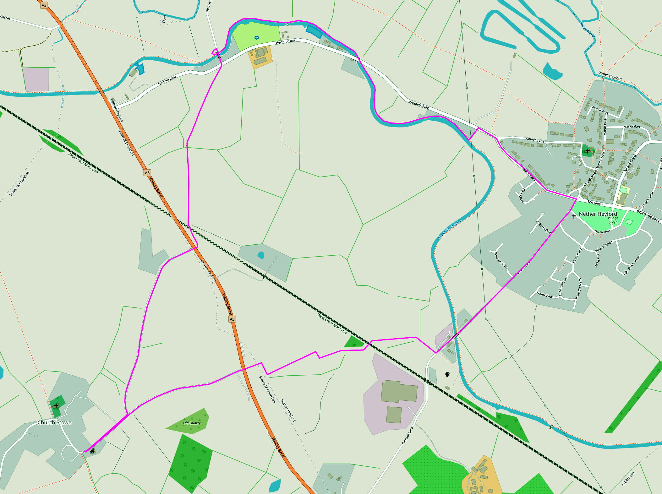
NB: The underlying map is © OpenStreetMap contributors and is used under their Terms.
Length: 6.1Km (3.8 miles)
Total Ascent: 89m
Time: 11/4 Hrs
NB: The underlying map is © OpenStreetMap contributors and is used under their Terms.
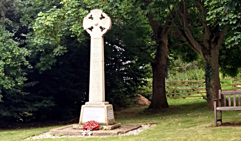
Start.
War memorial in Church Stowe. Head straight down the hill towards the A5.
Waypoint 1.
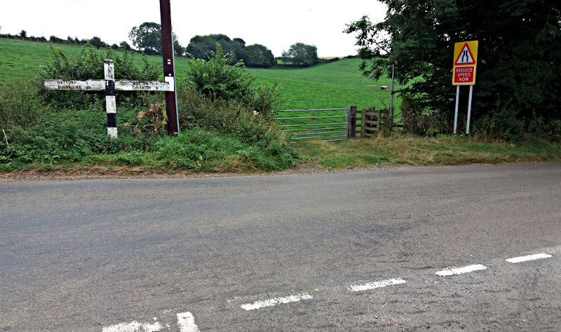
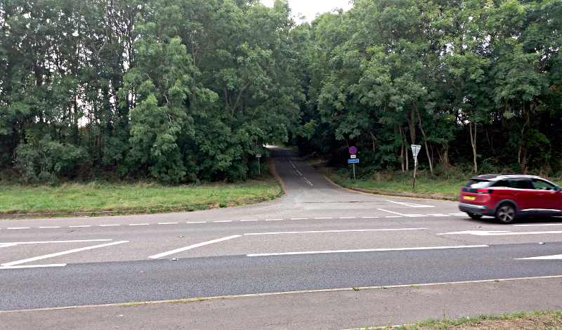
Cross straight over the A5. Caution - fast traffic.
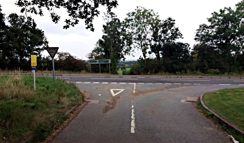
Waypoint 2.
At end of short hedge turn right and follow the field boundary, turning left at the corner to continue with the boundary.
Waypoint 3.
Through the gate approx. 2/3 of the way along this field edge pass through the gate. Turn left to follow field boundary.
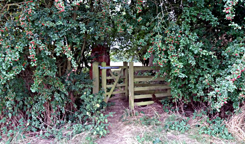
Waypoint 4.
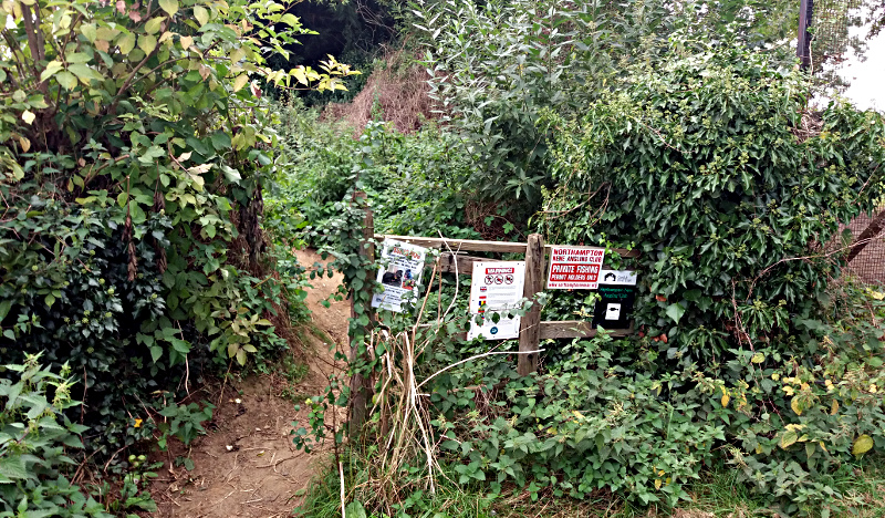
Pass through the gate into the small coppice and follow the path ahead.
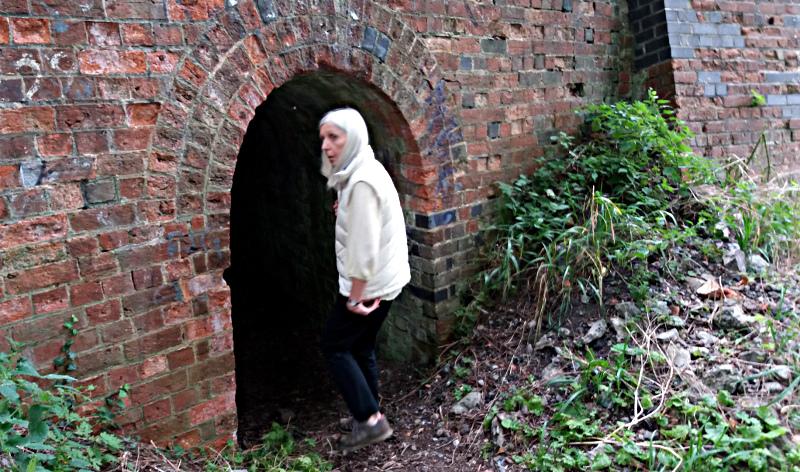
Waypoint 5.
Go through the small tunnel under the railway and then turn right to follow the field boundary almost to the far right hand corner.
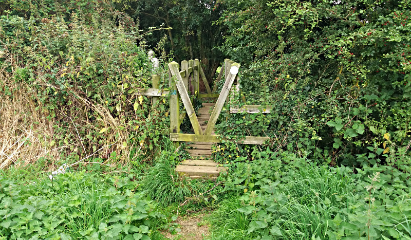
Waypoint 6.
Cross small bridge and follow the path ahead.
Waypoint 7.
At the end of the path turn left on the road. Caution - occasional lack of footpath.
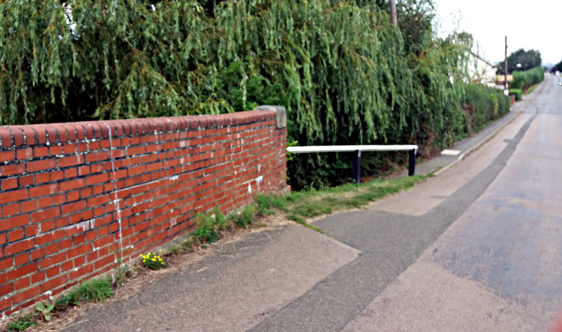
Waypoint 8.
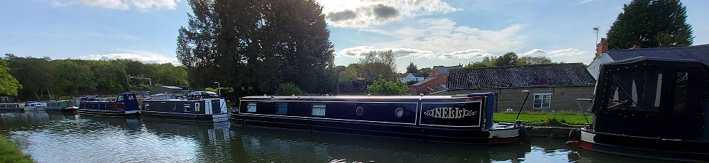
Cross over the canal and continue along the road. If you want a slightly shorter walk join the canal towpath (walk away from the bridge) here and proceed along to re-join the route at W11.
Waypoint 9.
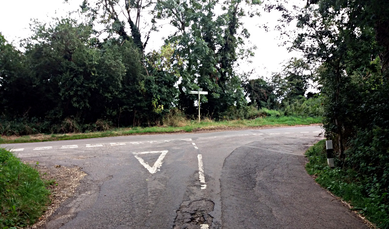
At the crossroads turn left along Weedon Road.
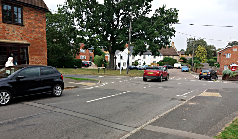
Waypoint 10.
Once out of the village look for the gap on the left with a path back up to the canal.
Waypoint 11.
Turn right along the towpath to bridge 27.
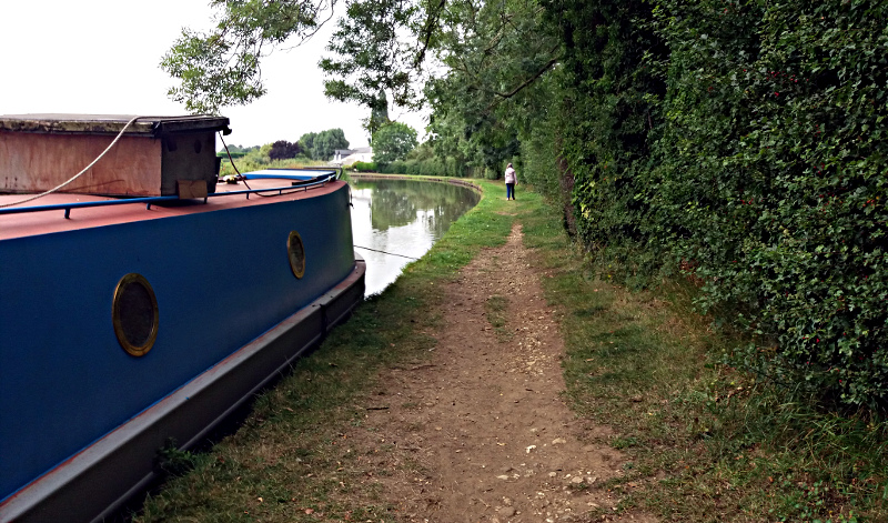
Waypoint 12.
Pass under the bridge and the turn to the right to cross the bridge over the canal.
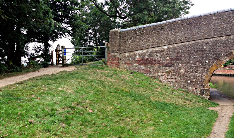
Waypoint 13.
At the junction go straight across the road. Caution - fast traffic. Once in the field turn right towards the tree in the distance. Follow the obvious route.
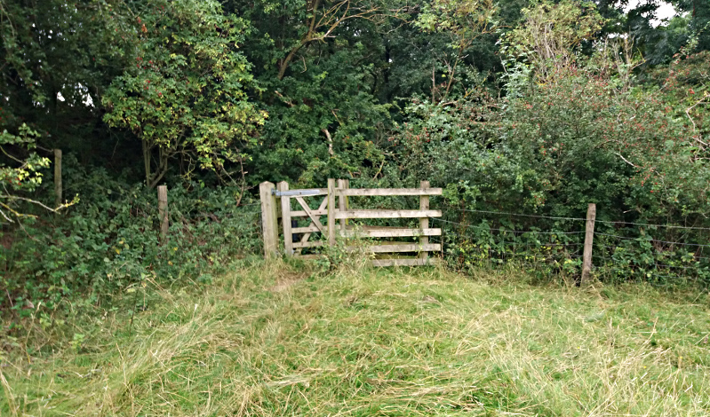
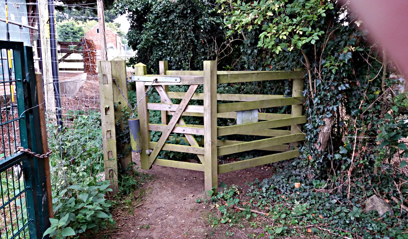
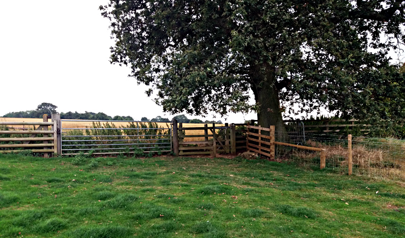
Waypoint 14.
At the field corner pass through the gate.
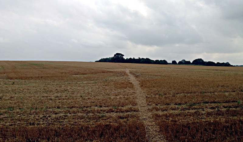
Waypoint 15.
Head across the field towards the large tree in the distance.
Waypoint 16.
Cross over the 2 styles that are close together and turn left to follow the narrow path to the A5.
Waypoint 17.
Cross straight over the A5. Caution - Fast traffic. Follow the road towards Church Stowe.
Waypoint 18.
At the junction turn right up the hill back to the start point.