Litchborough Circular Walk
Length: 7.5Km (4.7 miles)
Total Ascent: 155m
Time: 11/2 Hrs
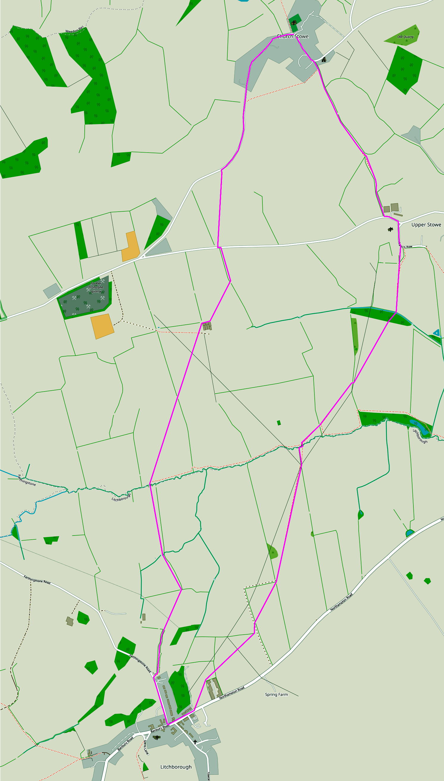
NB: The underlying map is © OpenStreetMap contributors and is used under their Terms.
Length: 7.5Km (4.7 miles)
Total Ascent: 155m
Time: 11/2 Hrs
NB: The underlying map is © OpenStreetMap contributors and is used under their Terms.
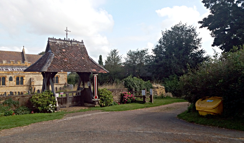
Start.
Start from the church in Church Stowe. Head West along the road towards Farthingstone for approx. ¾ mile.
Waypoint 1.
At signed footpath turn left and cross the field following the obvious path.
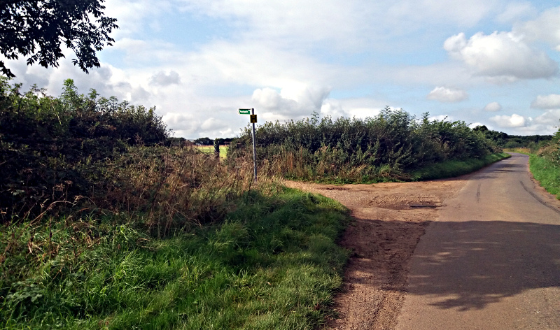
Waypoint 2.
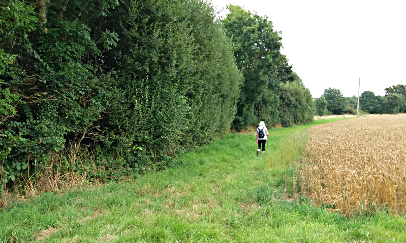
At the field edge cross the road diagonally to the left. Footpath signed. Proceed along keeping the hedge on your left.
Waypoint 3.
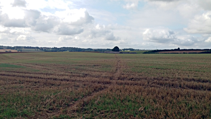
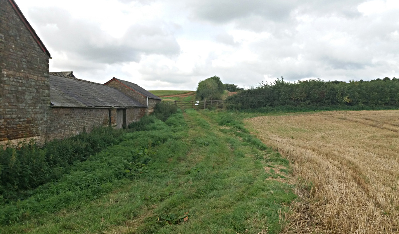
At the end of the hedge (not a field boundary) turn diagonally across the field to the right. Aim for the corner of the large barn complex.
Waypoint 4.
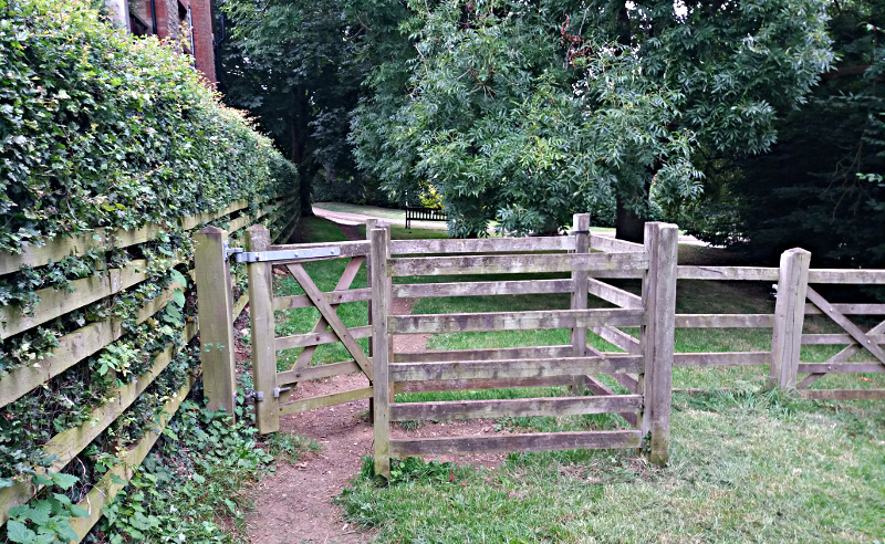
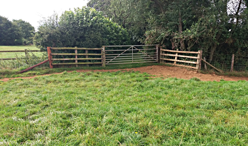
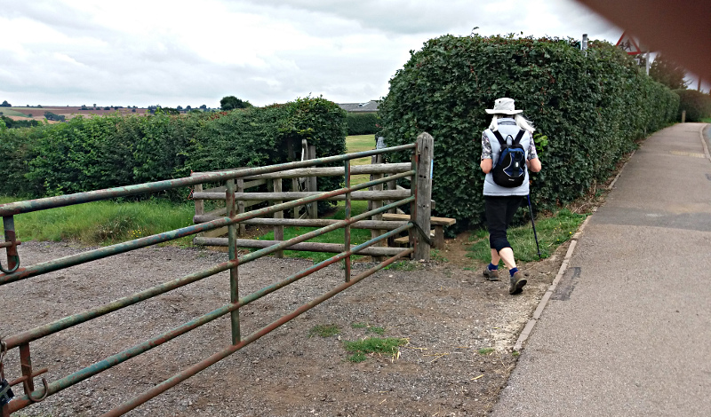
Turn slightly right up to the gate.
Waypoint 5.
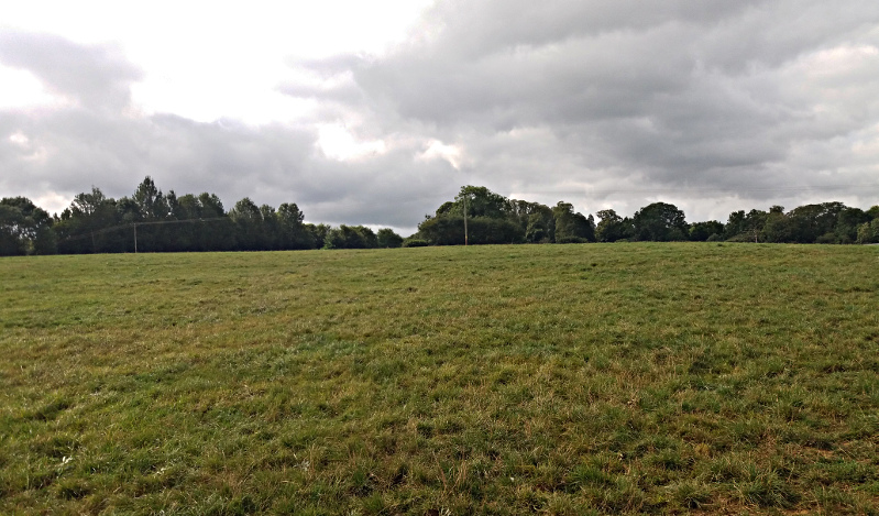
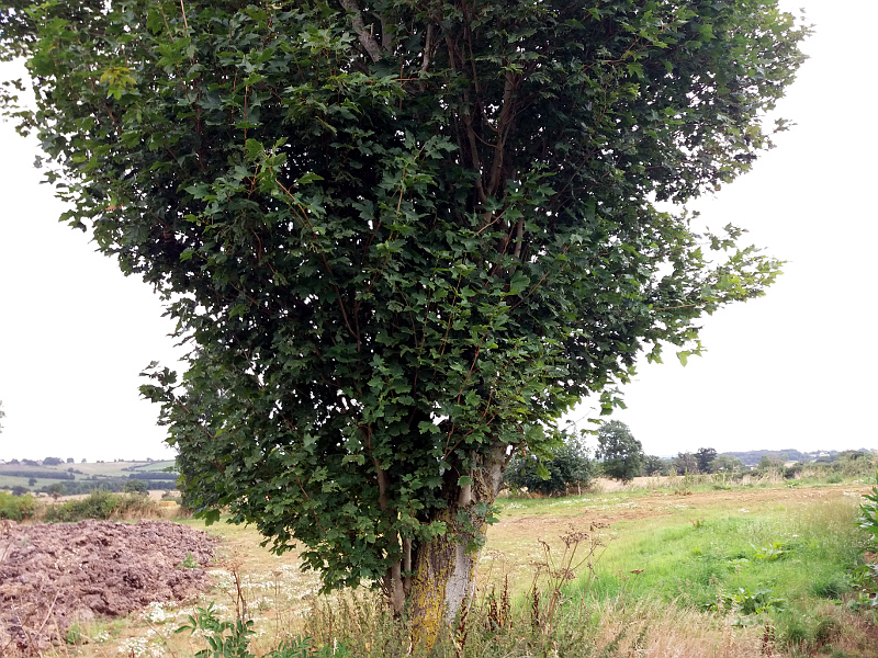
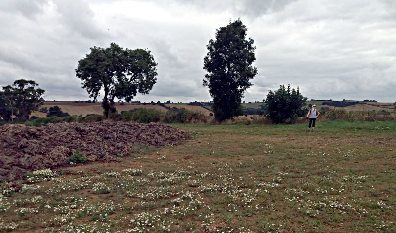
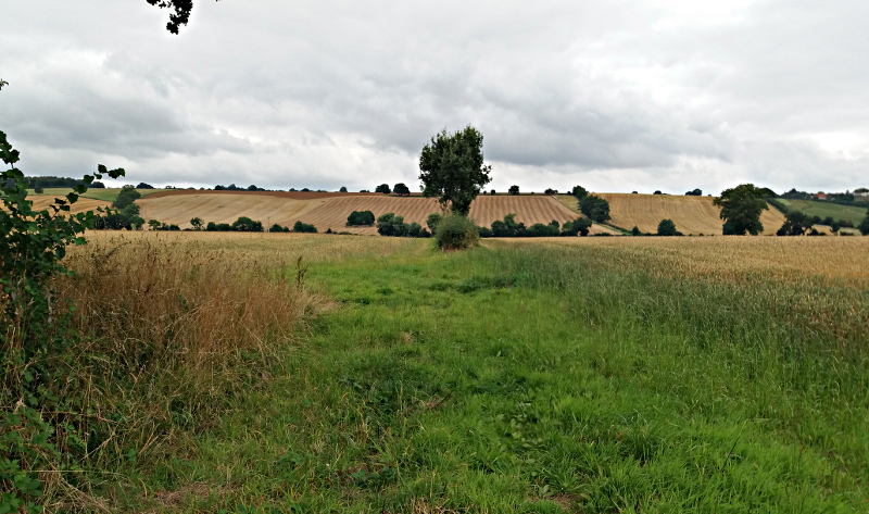
Pass through the gate and head diagonally across the field heading for the top of the tree that can be seen to the right of the electric pole.
Waypoint 6.
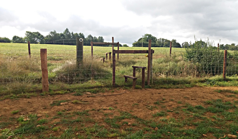
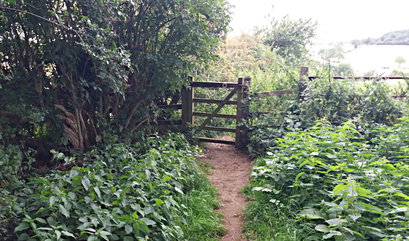
Go through the gate to the left of the tree.
Waypoint 7.
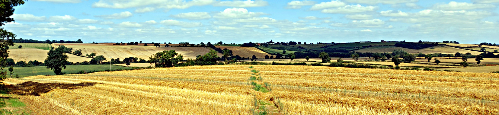
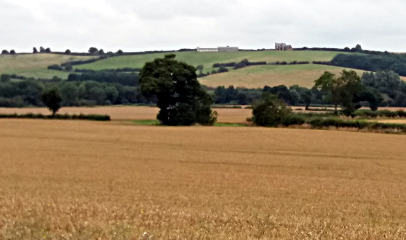
Head diagonally left across the field. Heading for the large grey barns visible in the distance.
Waypoint 8.
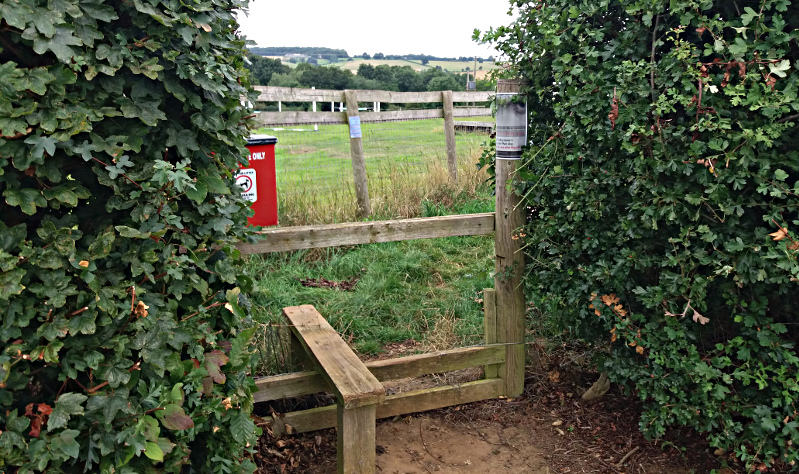
Cross the small style and head to the far corner of the field.
Waypoint 9.
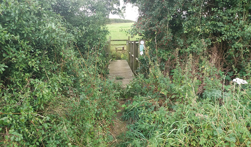
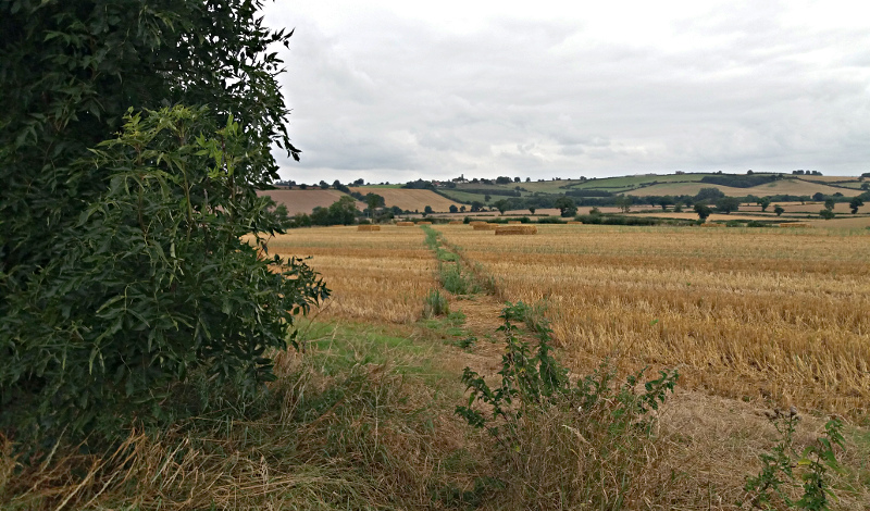
Cross the small bridge and style at the field edge and head straight up the next field keeping close to the hedge on the left
Waypoint 10.
Either pass through the gate or use the small style on the right and continue straight towards the tall tree in the distance.
Waypoint 11.
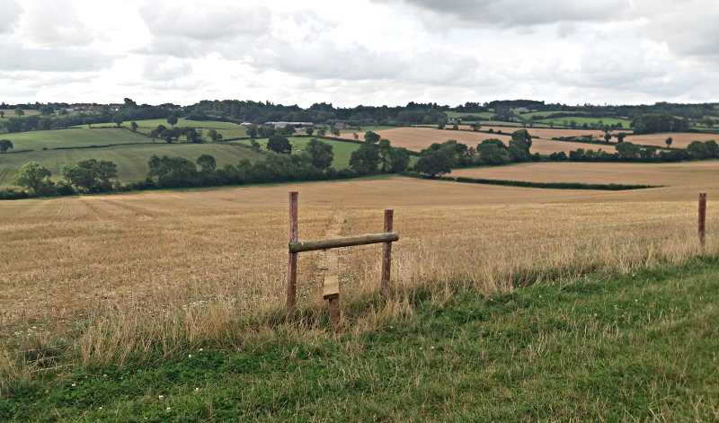
Next to the tree cross the 2 styles and turn slightly right across the field heading for the low part of the treeline.
Waypoint 12.
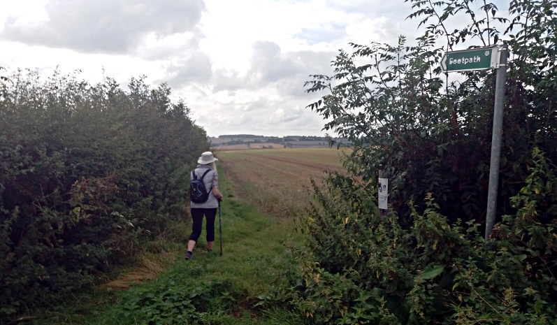
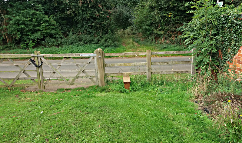
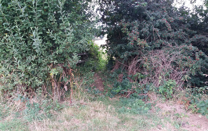
Pass through the gate and proceed along the green lane to its end.
Waypoint 13.
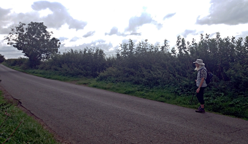
Cross the style and turn left along the road to Litchborough.
Waypoint 14.
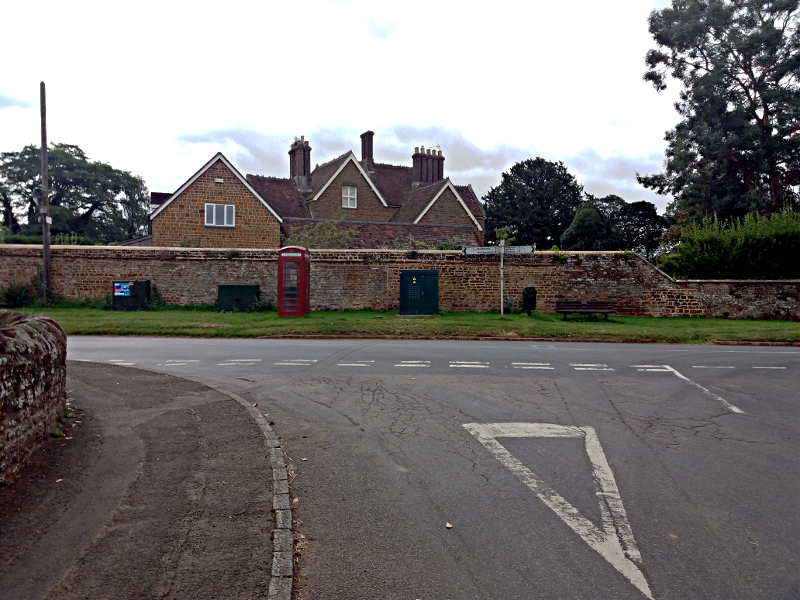
At the road junction turn left.
Waypoint 15.
Continue for a couple of hundred yards and then leave the road to the left having passed the village hall on the right of the road. Go diagonally across the small play area to the back hedge.
Waypoint 16.
Cross the style and turn right to follow the fenced footpath.
Waypoint 17.
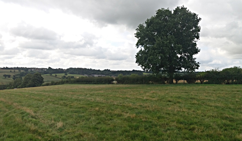
At the end of the narrow footpath head across the field towards the solitary tree.
Waypoint 18.
Continue through the thin hedge line and then diagonally across the field corner to the tree and bush.
Waypoint 19.
Pass between tree and bush and head for the far corner of the field.
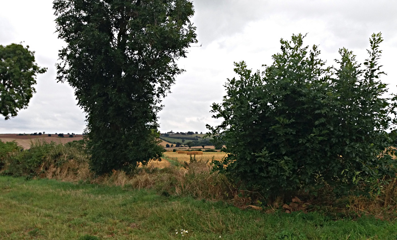
Waypoint 20.
Through the narrow gap at the field corner.
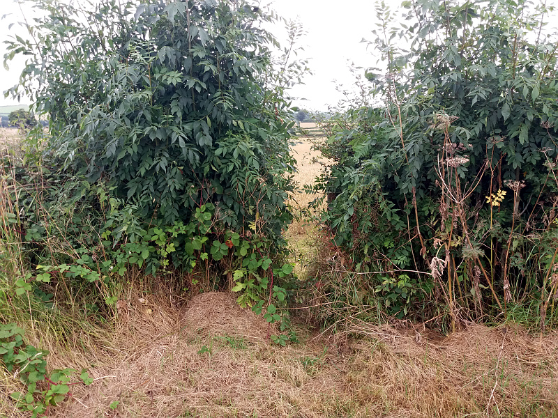
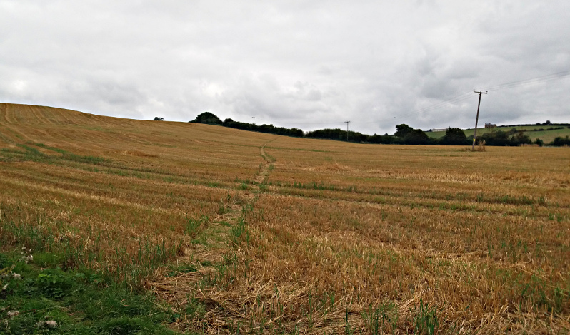
Waypoint 21.
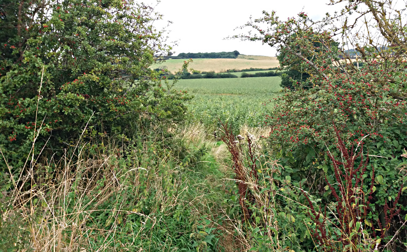
There is often no sign of a path across this field. The actual path goes directly to Wpt. 22. If there is no obvious path head diagonally left across the field to the large tree and then follow the hedge line.
Waypoint 22.
Continue to follow the hedge line to the trees at the end. Path is on the right of the hedge, but it is often easier to continue on the left.

Waypoint 23.
At the trees turn right. Proceed a short distance before turning left through the hedge and across a small stream. Turn sharply right and head for the gap in the hedge.

Waypoint 24.
Turn slightly uphill and head for the far hedge
Waypoint 25.
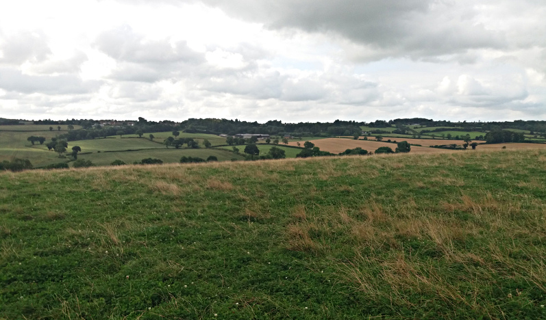
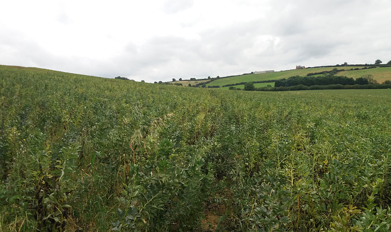
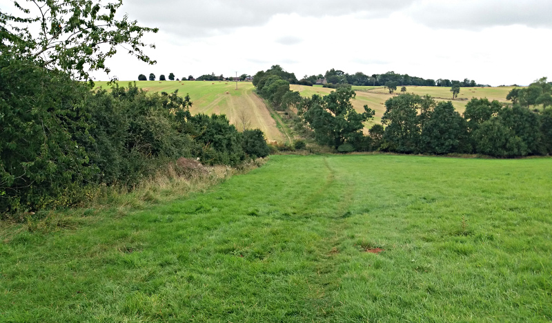
Pass through the hedge and continue into the field. The path more of less follows the contour line and so gradually turns left keeping the hilltop on the left.
Waypoint 26.
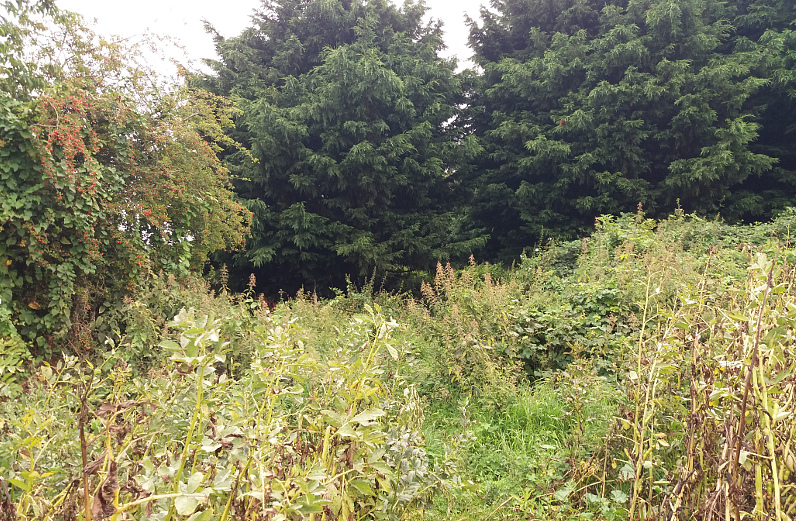
Follow round the hillside and enter the small wood at the gap. Follow the short path through to far side if the wood.
Waypoint 27.
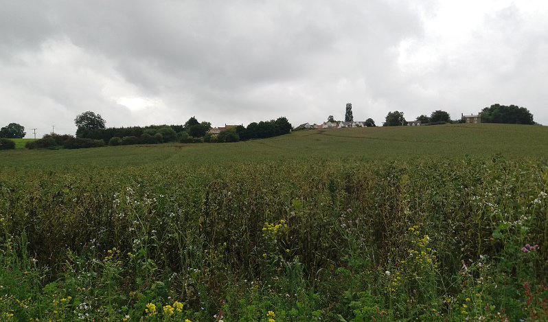
On emerging from the trees head straight up the field towards the conifers that can be seen to the right of the tiled roof.
Waypoint 28.
Pass between the conifers and follow the path up to the road.
Waypoint 29.
Continue up the lane straight ahead.
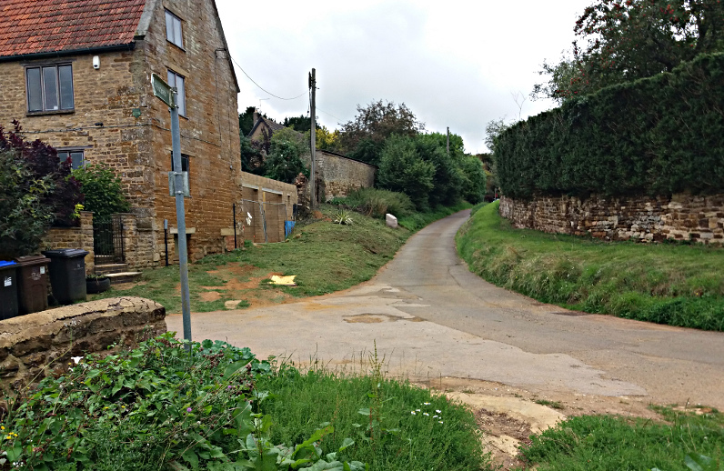
Waypoint 30.
At the main road turn left. Proceed 50 yards.
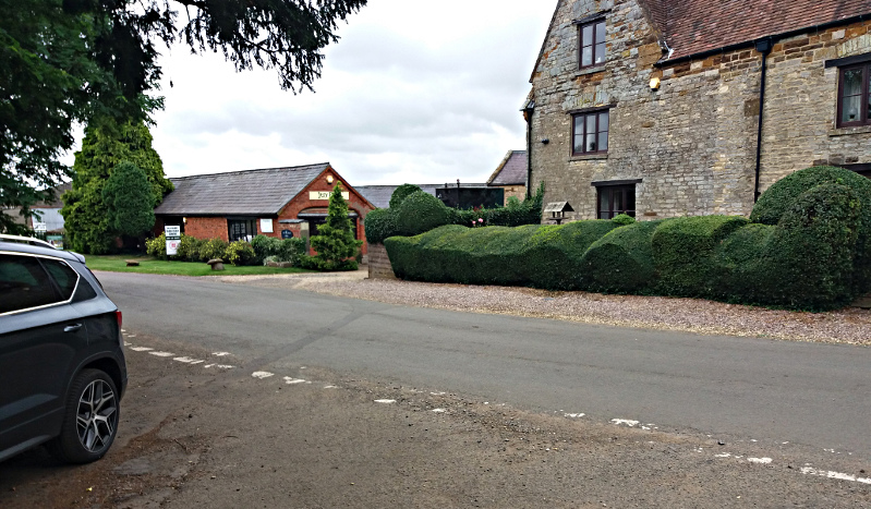
Waypoint 31.
Turn right down the signed path alongside the hedge.
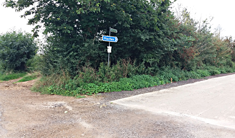
Waypoint 32.
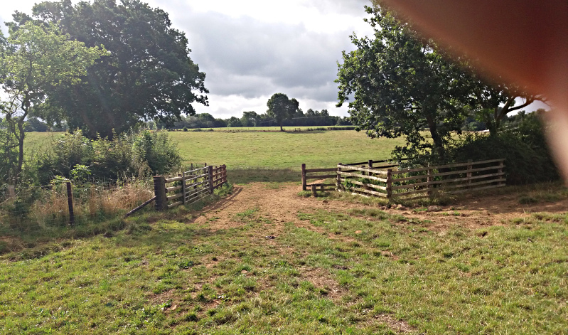
Continue straight through the gate, down the field and up the other side of the valley.
Waypoint 33.
Pass through the gate and at the road turn left and after 100 yards you will be back at the start.