Roman Way Circular Walk
Length: 8.25Km (5 miles)
Total Ascent: 112m
Number of stiles: 1.
Time: 2 Hrs
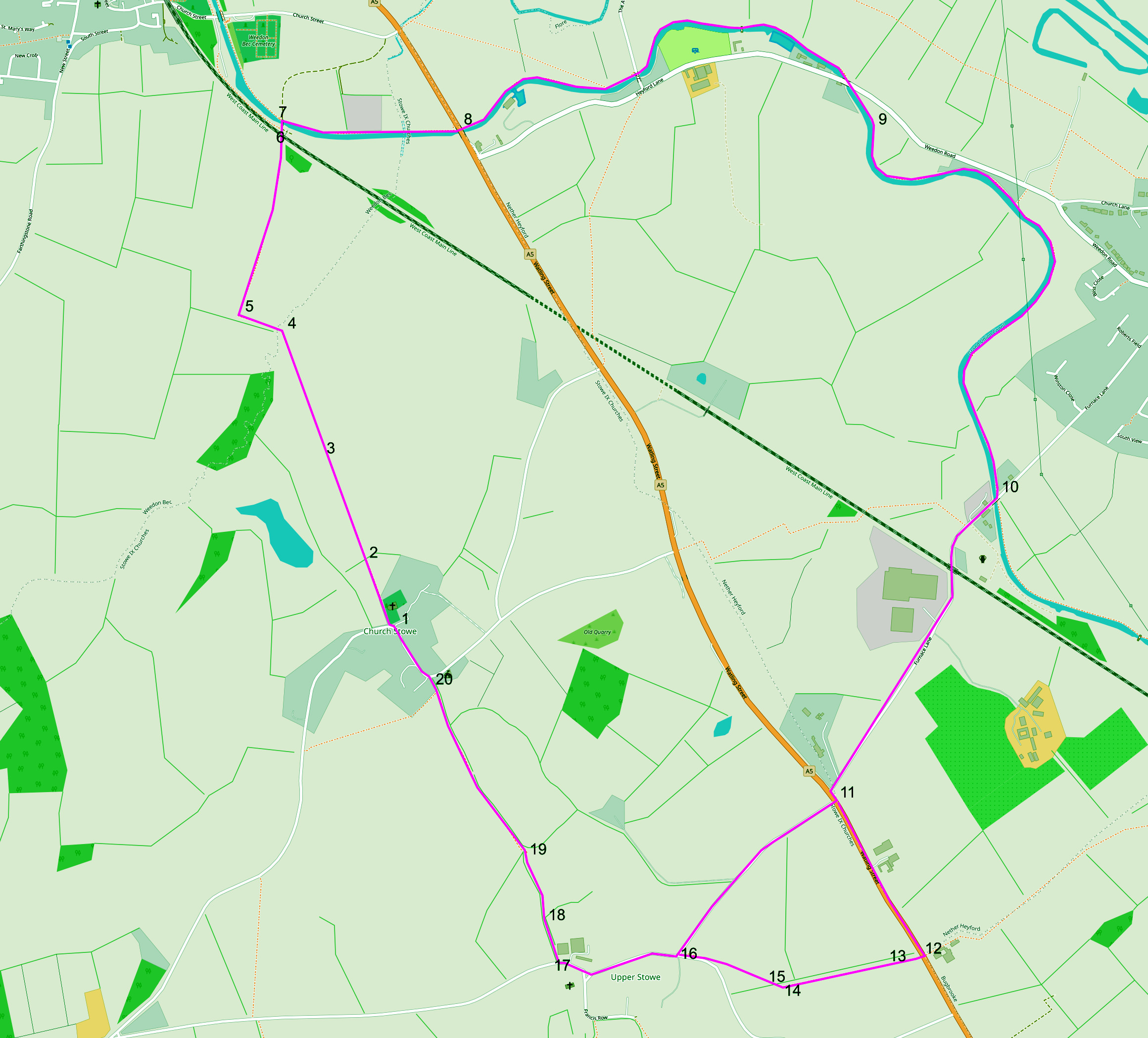
NB: The underlying map is © OpenStreetMap contributors and is used under their Terms.
Length: 8.25Km (5 miles)
Total Ascent: 112m
Number of stiles: 1.
Time: 2 Hrs
NB: The underlying map is © OpenStreetMap contributors and is used under their Terms.
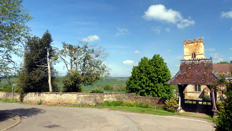
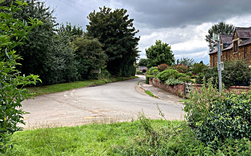
Waypoint 1.
The walk starts at St Michael's Church Stowe.
Careful parking is possible on the road close to the church.
You will see a footpath sign just by a small wooden gate that to the left of the lych gate.
Once you are on the footpath, take a look up at the church tower - you will be able to see two Saxon stones on the south and
north corners of the tower towards the bottom. They are believed to be part of a Saxon cross. The one on the North corner
(on the right as you look at the tower from the footpath) was discovered during the restoration of St Michael's in 2020.
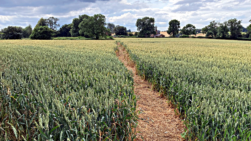
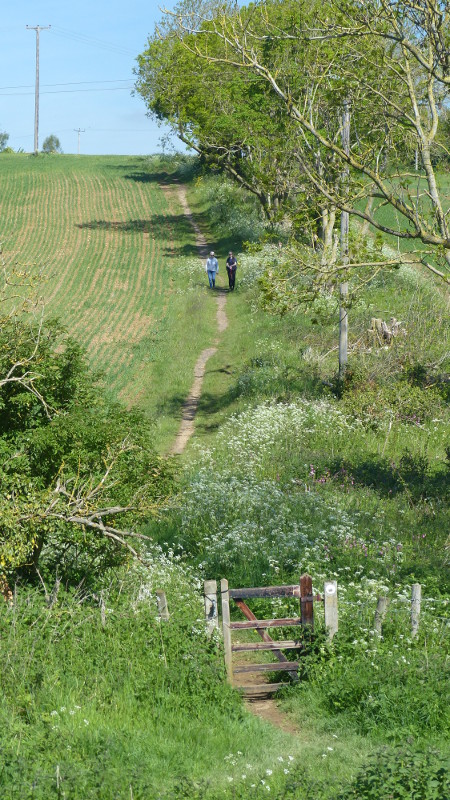
Waypoint 2:
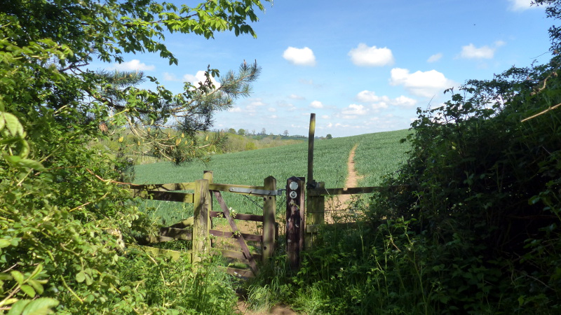
At the bottom of the hill, the path again passes through a small wooden gate
into a field of crops. During the late spring and summer the path is easily
visible through the crops, but is not well defined for a while after autumn
ploughing or sowing. The photo below shows the direction the path takes after
passing through the gate.
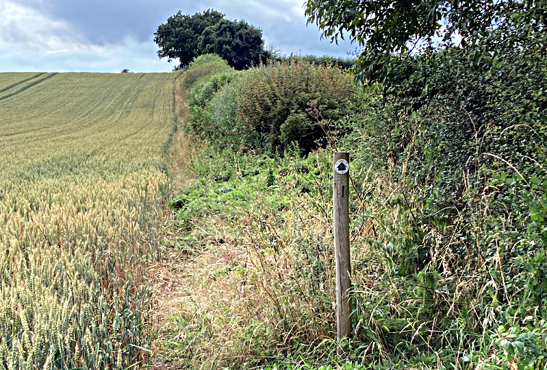
Waypoint 3:
After the brow of the hill in the field, the path heads slightly to the left
and downhill. The modest valley down to the left hand side of the path at this
point has been suggested as one of the possible sites of Boudicas last stand
against the Roman occupation. The Iceni and other tribes were heavily defeated
at this battle, even though they had considerably superior numbers. The battle
finally put an end to resistance against Roman occupation in the south of the
country. More information about it can be found here.
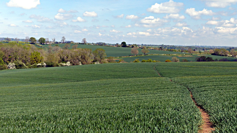
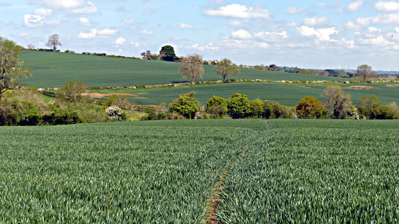
The path finally heads towards the nearest corner of the field beyond (photo below).
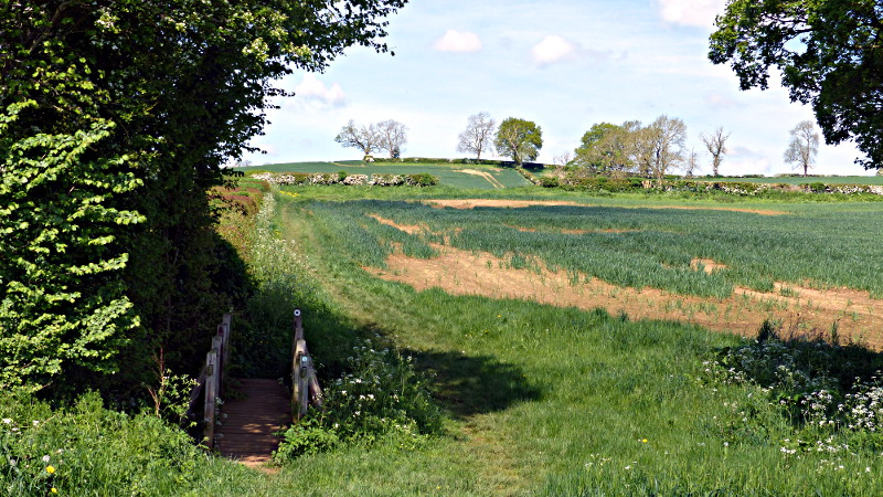
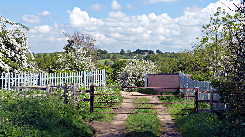
Waypoint 4&5
On reaching the tree-line, proceed across the small bridge and straight on
up the field with the hedge on your left. At the top of the field, turn right
and follow the track.
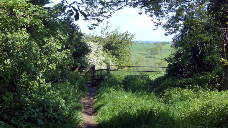
Waypoint 6:
Follow the track until you reach a metal gate with a small wooden gate to
its left. Pass through the gate, over the rail and then the canal bridge.
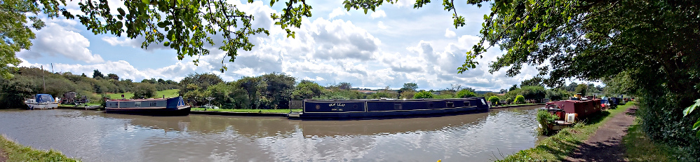
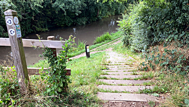
Waypoint 7&8:
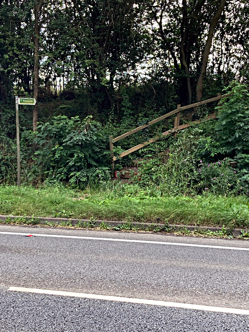
Just over the canal bridge there is a footpath sign on the left with some
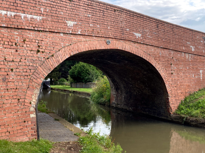
steps leading down to the canal path. Go down the steps. At the bottom of the steps turn left to walk along the canal tow path and pass under the bridge.
The next bridge you come to passes under the A5 - which follows the path of what was Watling Street in Roman times.
If you are thirsty or hungry at this point you might break away from the path to go to the Narrow Boat pub.
Waypoint 9:
Keep following the canal path (with the canal on your right). Once you are past the 5th bridge after
joining the footpath the canal will round a bend, if you look up to your right you will see a small stand of trees on the top of the hill.
This is close to a Roman Villa that was excavated at Whitehall Farm.
More information about it can be found here
Waypoint 10:
Keep following the canal path until you reach the 6th bridge (since you joined the canal path), it is
numbered '32'.
Do not pass under the bridge, but take the path up to the left to join the road.
At the road turn right passing over the canal bridge. You will now follow the road (Furnace Lane) for about half a mile until
it joins the A5.
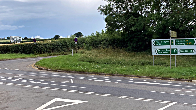
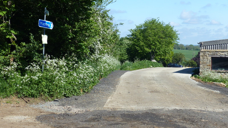
Waypoint 11:
Once you reach the A5 you have a choice:
a) Turn left and then immediately right to follow the sign to the Old Dairy Farm - taking you into Upper Stowe.
Once your reach Upper Stowe rejoin this walking map at Waypoint 16.
b) Turn left along the A5 and follow it until you reach a sign for Weedon Motorcross.
Waypoint 12:
If you look across the road from Weedon Motorcross you will see a footpath sign and some steps
going up to a field.
Cross the A5 carefully - it can be busy.
And then take the steps up to join the footpath. Keeping the field on your left and the hedge on your right follow the footpath along the edge of the field.
Waypoint 13:
Continue on the path past this footpath way marker.
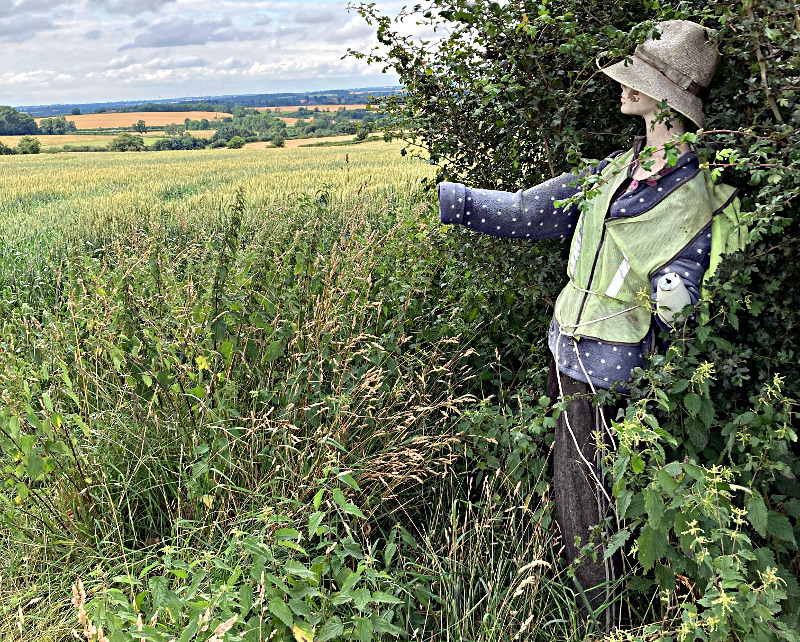
Waypoint 14:
Continue to follow the footpath along the edge of the field until you see a gap in the hedge
guarded by this rather glamorous scarecrow!
Waypoint 15:
Go through the gap in the hedge to follow the path across the field.
Waypoint 16:
The footpath emerges in Upper Stowe.
Walk straight ahead.
As you walk through the village you will see the Church of St James's built in 1855 as a chapel of ease to St Michael's.
It has a lovely wildflower churchyard which is worth exploring. before you cross over the road to the Old Dairy Farm where
you might want to stop for a welcome cup of tea and cake.
Waypoint 17.
20 metres past the Old Dairy Farm take the gravelled footpath off to
the right down between the trees.
Waypoint 18.
After a further 50 metres or so, the path passes through a small wooden gate
into a field with sweeping views over to Church Stowe (straight ahead) and over
to Northampton in the distance to the right.
Waypoint 19:
Carry on down to the bottom of the field where the path passes through a
second small wooden gate and climbs the hill towards Church Stowe.
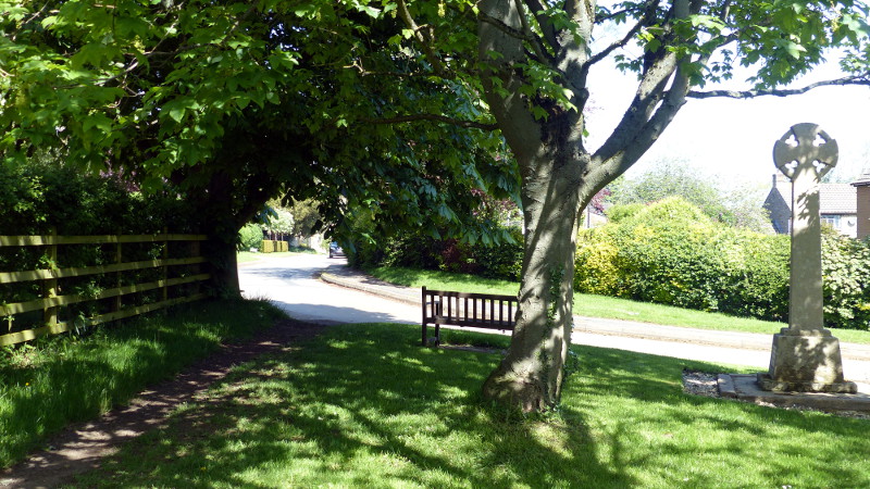
Waypoint 20.
At the top of the hill, go through a third small wooden gate and follow the
path straight on past the bench and war memorial onto the road through Church
Stowe.